Fire Data – California and beyond
We lived thru, and self-evacuated from, the 208k acre Cedar Fire in 2003 and the 248k acre Witch Fire in 2007 in San Diego county, with an asthmatic child. The most petrifying part was being unable to access any data regarding fire location and spread. We were expected to sit by our phones and evacuate when (and if) the call came. If you didn’t want to wait until literally the point of no return, if that didn’t suit your risk management style, then the only data to drive that decision was what you could see out your window. This was especially acute during the Cedar Fire. When a ridge east of us started to burn (with flames dozens of feet tall) and potentially threatened to cut off one of our escape routes (15 Fwy) we decided to go. Keep in mind we had no idea how far away the ridge actually was, nor any idea how long before it jumped the freeway. We took the fire box and the cat to my Mom’s place in Orange County (which was also being threatened by its own fire).
We evacuated the Witch Fire when the smoke grew so thick we couldn’t breathe. Note that the smoke impacted us long before the house was in any danger.
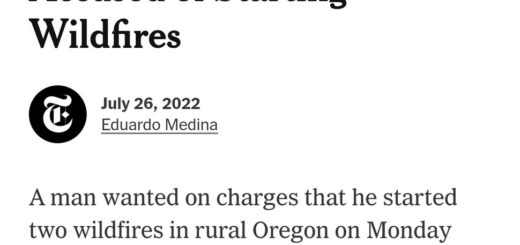
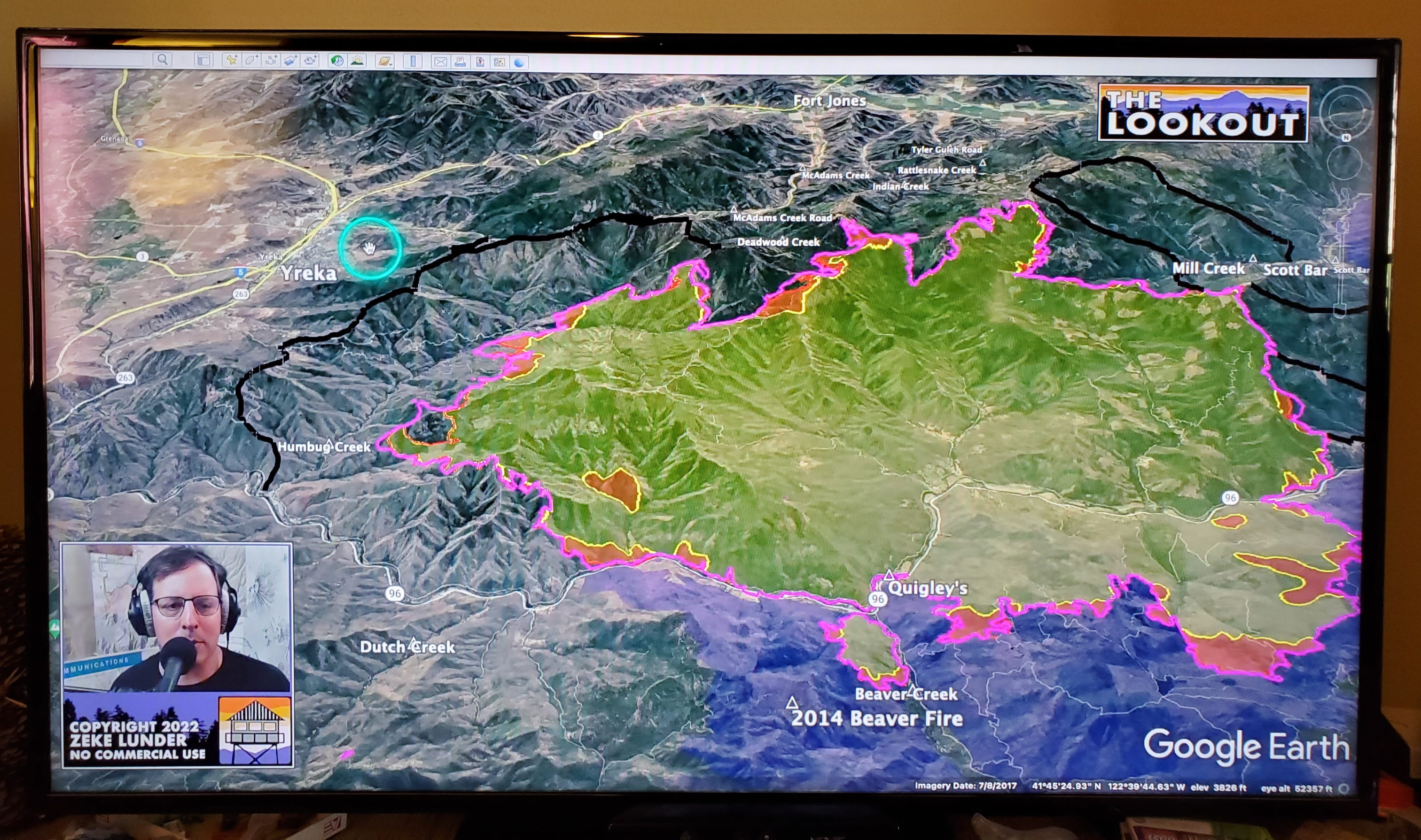
Today we have more information. Just wanted to mention a few resources like “The Lookout” vlog
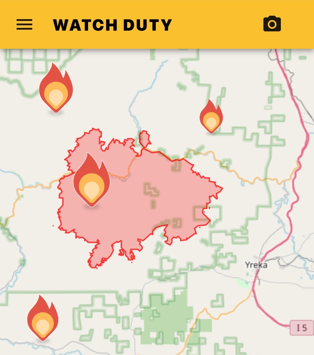
and the Watch Duty app which enables notifications for fire starts and updates.
Hope this proves helpful to folks out there as we head into fire season. We keep our fire box (plastic tote) downstairs with important papers ready to go.
More info here: https://www.popsci.com/technology/watch-duty-the-lookout-tech-to-track-wildfires/